
The European Space Agency just released amazing video footage of Vancouver from the Copernicus Sentinel-2 satellite. Copernicus sits at 786 KMs above Earth in a “Low Earth Orbit”.
You can clearly see ships waiting in the Burrard Inlet, roads to the North Shore Mountains, Stanley Park, Downtown Vanvouer, UBC, and SFU.

There is a great over-head photo Richmond and the Vancouver International Airport (YVR)

There is a beautiful July 2019 photo of the Fraser River discharging sediment in the Georgia Strait. You can clearly see Metro Vancouver, the Tsawwassen Ferry Terminal, Point Roberts, and the north west part of Washington. You can see Gulf Islands, including Gabiola, Valdes, Galiano, Mayne Island, Thetis Island, and the northern half of Salt Spring Island.

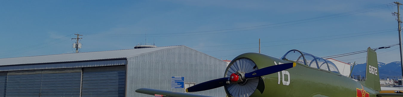
Take your own aerial photos of Vancouver; Book a sight seeing flight